Why Tokyo bikes more than NYC
It’s not more bike lanes. It’s the absence of cars

Biking in NYC these past few months has made me think about how the city stacks up against Tokyo in the cycling department. The short story is that Tokyo has far more bicycle use with far fewer bike lanes, because it has vast neighborhoods with almost no cars at all. Some maps can help explain the difference.
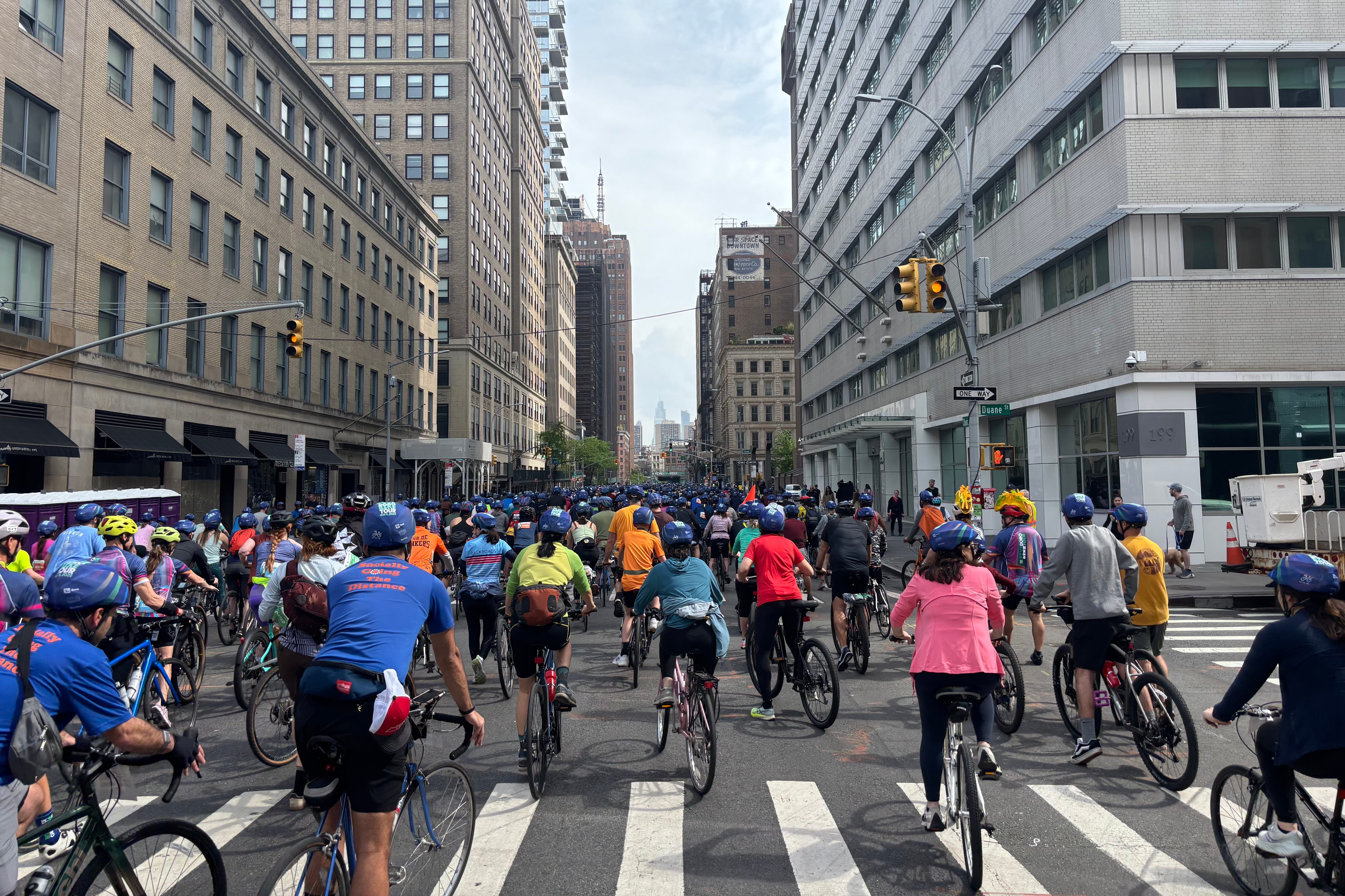
Since I last lived here from 2012-2014, NYC has built at least 479 miles of bike lanes and 180 miles of protected bike lanes all over Manhattan and parts of the outer boroughs. Even so, only around 2% of trips in NYC are by bike. There is a stark difference in the “modal split” of NYC and Tokyo’s 23 wards:1

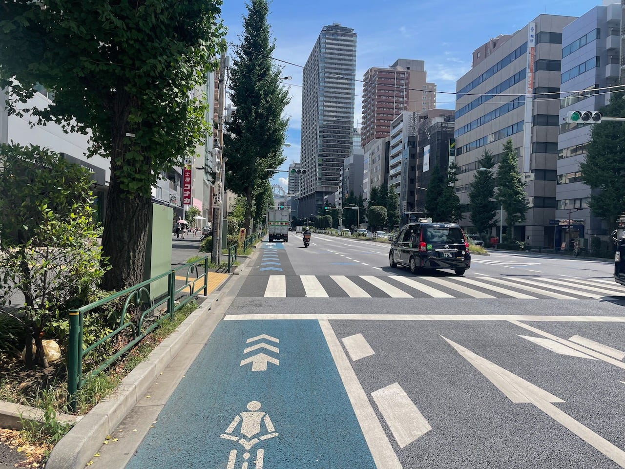
Tokyoites bicycle at a rate more than six times that of New Yorkers. This may sound outrageous to a visitor who has wandered around near one of Tokyo’s mega-stations or along major boulevards, where bikes are few and far between amid the thick hordes of transit commuters and vehicles. But venture into the neighborhoods, especially the somewhat less transit-dense inner ring suburbs, and they’re everywhere. Sit down on the right corner and you might see the same person jump on their bike five times in a day. Many Tokyoites use bikes like Americans use cars: to run any errand more than a five minute walk. There are various factors behind this style of bike use. The ease of using a bike with a simple lock, parked in front of your door with no fear of theft, is certainly a big one, as are calm drivers and the existence of large underground bike storage facilities in activity centers.
Here, I’d like to explain the role of urban scale and layout in supporting higher bike usage, using maps of Manhattan and my central Tokyo neighborhood. First, let’s look at Midtown Manhattan’s iconic grid of 100-foot wide avenues and 60-foot wide streets with Central Park (north) on the right. Bike lanes are in green.

At the same scale, here’s my neighborhood in Tokyo’s Bunkyo Ward (oriented city center at bottom), which has a population density of around 25,000/sq km, roughly the same as Manhattan. There are only a few bike lanes.

Instead of bike lanes, let’s color the Tokyo map by car traffic: red is high traffic (at least 20 cars per light change), orange medium (10-20) and yellow low (1~10). These roads are part of the city-wide road network and are where ~90% of the moving cars are. There are sidewalks and a few have bike lanes like the one above.

Almost every other street is between 4 and 6 meters (12-20 ft) wide—1/4 to 1/3 of the width of a Manhattan street—while some older streets are even narrower. Drivers must obey a maze of one-way restrictions from which pedestrians and bikes are exempt. Unsurprisingly, almost all the low-speed cars that venture into this unwelcoming geometry are local residents headed to and from off-street parking, or small delivery vehicles. These back streets are where the bikes roam.

If New York is a city sized for cars with a network of bike lanes shoehorned in, Tokyo is the opposite: a marshland of pedestrian and bicycle-scaled paths with a network of wider channels for cars dredged through it. The mostly car-free area I live in, bounded by mid-to-high-traffic arteries, would stretch from 1st to 9th avenues, and from 50th to 59th streets:

The green lines on the inlaid map above are typical routes I take when riding my bike through the neighborhood. Although not immediately obvious on a map, these routes are mostly old Edo-era roads (center) or buried streams (the squiggly line on the left). In other words, Tokyo has a latent network of ancient “desire lines”: paths that directly link activity centers (former villages) or flow with the contours of the land. This pre-automobile geography is a big reason why nearly one out of seven trips in modern-day Tokyo is on a bike.
Tokyo has a latent network of ancient “desire lines”: paths that directly link activity centers (former villages) or flow with the contours of the land.
Tokyo has its shortcomings, too. Mental maps of the tangled streets tend to extend only a few kilometers, so on longer distance rides, it’s usually easiest to follow the car-filled arterials, which often means riding either on the sidewalk or in mixed traffic. This is where New York has a leg up on Tokyo—I recently rode 15 kilometers from Midtown to Brooklyn, and 95% of the route was on bike lanes. But how many New Yorkers would regularly bike so far? Bicycles excel at intra-neighborhood transport; crosstown journeys are what good transit is for.
This post is just a simple comparison of two urban contexts I’m familiar with. In the end, Tokyo’s very different street geometry means it’s not the best model for NYC.2 Paris, which just voted to pedestrianize 500 more of its streets, and other European cities are probably better guides to where American cities should go (NYC urbanists have imagined car-lite New York in visions like 25x25 or this cool NYT feature).3 But Tokyo shows that the most liveable and bikeable neighborhoods are ones where cars hardly factor into the equation. That is something I’m looking forward to going home to.
Both of these modal splits come from official data (NYC, p. 24 / Tokyo, p. 5) and reflect all trips taken (not just commuting), but are presumably not strictly comparable due to methodological differences. Nonetheless, they seem directionally accurate. Data is pre-pandemic: 2019 for NYC, 2018 for Tokyo. If you think the comparison is unfair because many areas of the outer boroughs are more suburban in character, note that there are also many suburban areas of the 23 wards, like Adachi, Edogawa, and Nerima. Also consider this interesting fact: in Tokyo’s less dense western suburbs (known as Tama, sort of equivalent to Long Island), the share of bicycle trips actually increases from 13% to 16%, along with driving, while walking and transit decline compared to the urban core. This shows how essential bikes are as an intra-neighborhood transportation mode, and how most Tokyo suburbs are mixed-use and human-scale.
Bunkyo’s dense web of narrow streets occupies just 16.8% of the total area of the ward, less than half of Manhattan’s purported figure of around 36% (admittedly this estimate seems a little high). All that extra space makes the fact that half this public resource is reserved for the exclusive use of cars feel even more egregious. Most Tokyo streets hardly have room for a few potted plants, much less street trees. Imagine all the amazing streetscapes New York could build and instead it’s giving them over to cars?! Three million parking spaces are handed away to store unsightly private property for free!?
This recent New Yorker piece on finding parking in New York captures the absurdity of having so many cars in such an urban place.
Bravo! A striking, accessible comparison that deserves the widest possible circulation.
Very interesting Sam!